The Historic Columbia River Highway is famous for its waterfalls, but the most satisfying Gorge day connects them with viewpoints, river towns and the changing landscape farther east. Treat Multnomah Falls as one stop in a larger corridor rather than the entire destination.
The waterfall corridor
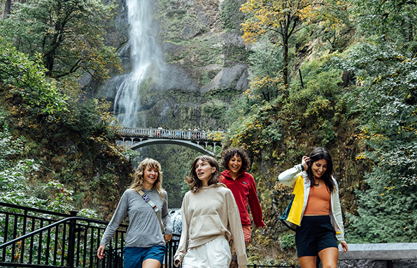
Between Troutdale and Dodson, short trails reach Latourell, Bridal Veil, Wahkeena and several smaller falls. Parking and access rules vary, especially at the most visited sites. Check the relevant land manager before leaving and choose a backup walk nearby.
Crown Point and the Women’s Forum viewpoint help explain the geography before the road drops into the forest. Once you are among the falls, distances are short enough that two good walks are usually better than six hurried stops.
River towns and open water
Cascade Locks offers an easy pause beside the river, while Hood River combines a working waterfront with access to orchards and the mountain. Strong wind is part of the Gorge’s identity; it can also change conditions quickly for paddlers, cyclists and exposed hikers.
The orchard side of the mountain
South of Hood River, farm roads climb toward the mountain through orchards and open views. Keep speeds low, respect private property, and use signed businesses and viewpoints rather than field entrances. The route can be paired with a return through Government Camp for a broad Mt. Hood loop.
A flexible one-day outline
| Part of day | Focus | Anchor |
|---|---|---|
| Morning | Viewpoints and one waterfall walk | Crown Point plus Latourell, Bridal Veil or Wahkeena |
| Midday | River perspective | Cascade Locks |
| Afternoon | Town, orchards or mountain | Hood River and the lower Mt. Hood loop |