The Oregon Coast rewards a loose itinerary. Distances look short on a map, but viewpoints, short walks and the simple pleasure of watching the tide can turn thirty miles into a full day. Choose one section of the coast, make two or three anchors, and let the rest remain optional.
North coast: headlands and broad beaches
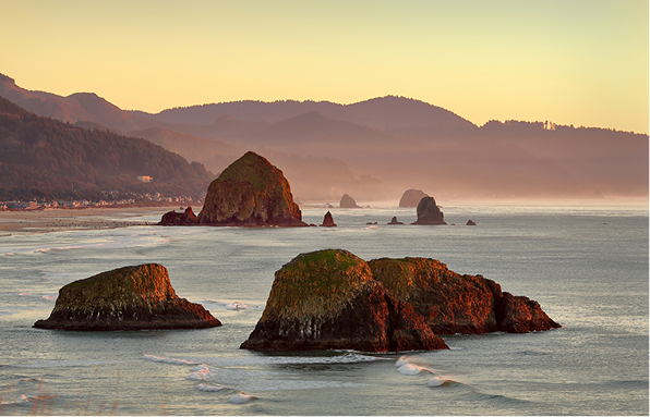
From Astoria south toward Tillamook, the road moves between river history, forested capes and long beaches. Fort Stevens and the Astoria riverfront make a practical northern start. Farther south, Ecola State Park and Oswald West State Park offer high viewpoints and forest-to-ocean trails, while smaller towns provide easy places to pause between walks.
Popular beach access points can fill quickly. An early start gives you more room, but the coast is not only a sunrise destination. Fog, afternoon wind and the softer light before evening are part of its character.
Central coast: lighthouses and working harbors
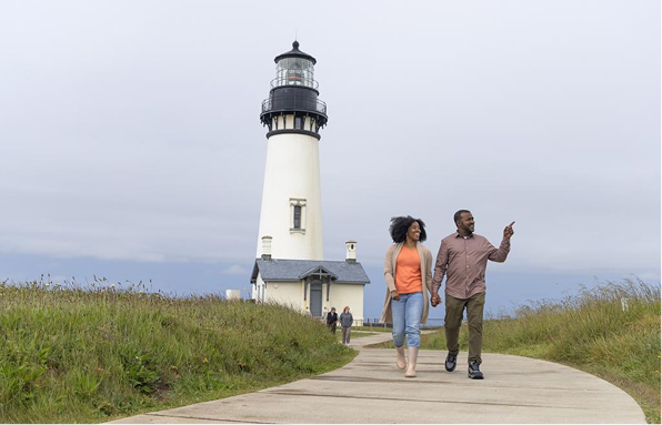
The central coast layers maritime landmarks with everyday port life. Yaquina Head, Cape Foulweather and the viewpoints around Yachats make a natural sequence. Newport adds an active bayfront, aquarium stops and access to beaches north and south of town.
South coast: longer views, fewer shortcuts
South of Florence, dunes and broad river mouths change the scale of the landscape. Beyond Coos Bay, Shore Acres, Cape Arago and the Samuel H. Boardman corridor provide some of the coast’s most dramatic stops. Towns and fuel are farther apart in places, so treat the day as a route rather than a list of isolated attractions.
A three-day coastal outline
| Day | Focus | Useful anchors |
|---|---|---|
| One | North Coast | Astoria, Ecola, Cannon Beach or Manzanita |
| Two | Central Coast | Cape Foulweather, Newport, Yachats |
| Three | Southward | Florence dunes, Shore Acres or a shorter central-coast loop |